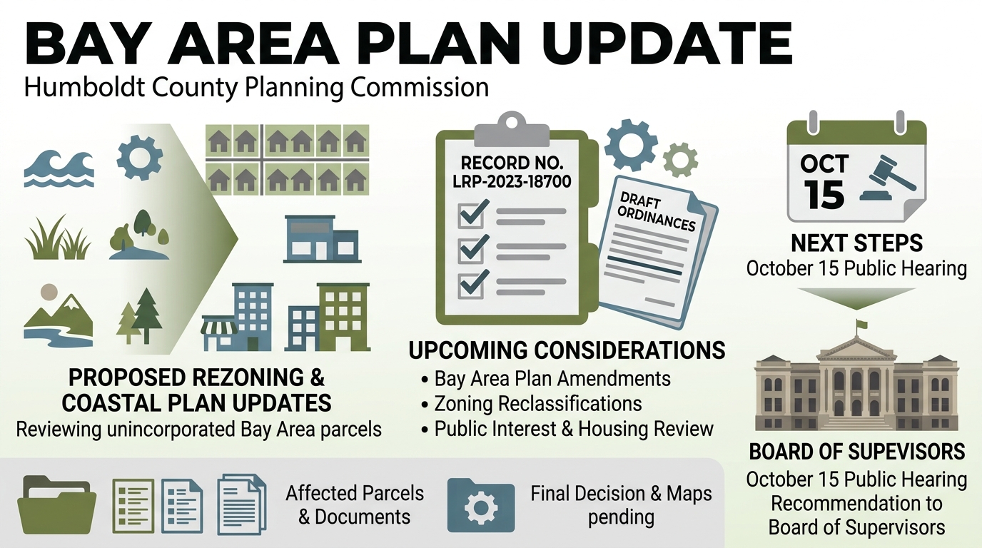
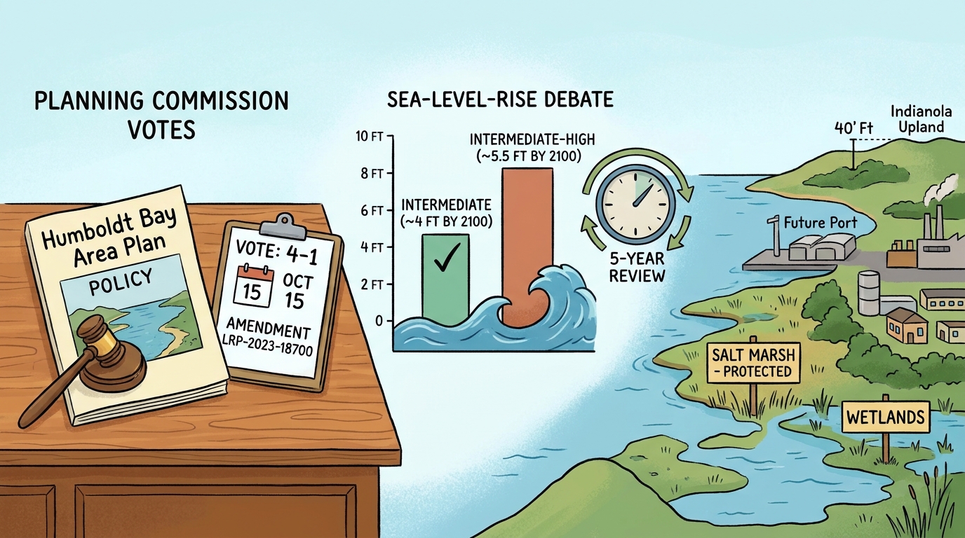
The Humboldt County Planning Commission voted 4-1 on Oct. 15 to advance an updated Humboldt Bay Area Plan, Local Coastal Plan amendments and related zoning changes to the Board of Supervisors, after debating how the county should plan for sea-level rise and development on constrained parcels.
The commission’s motion included staff-recommended changes, the intermediate sea-level-rise scenario — roughly 4 feet by 2100 — and a provision to review the projections and the rate of sea-level rise at least every five years, according to the meeting record. Commissioners discussed the alternative intermediate-high scenario of about 5.5 feet by 2100, with members weighing the value of conservative planning against possible effects on property owners and future development costs.
Planning staff said the lower scenario would be used in the plan after the commission’s discussion. The five-year review is intended to allow the county to revisit the data and amend the plan if updated science or observations warrant a change, the meeting record shows.
Staff also recommended narrowing or removing several proposed parcel changes. A proposed change near the Mad River Slough mill site was supported despite questions about possible legacy contamination and nearby biological resources. Staff recommended removing a proposed change in the bay area after determining that the parcel was salt marsh, and removing a proposed industrial-to-residential change north of Samoa Boulevard because the parcel is mapped as wetlands and has a history of industrial use.
Near Indianola, staff continued to support changing the land use and zoning on about 0.6 acres of a 58-acre parcel. Staff said the portion is upland, at about 40 feet in elevation, and outside mapped wetlands, the flood zone and projected future inundation. Staff recommended removing a proposed higher-density residential change in Fields Landing because of sea-level-rise exposure.
The hearing also covered tsunami-safety-plan qualifications, water-quality policies, public access and future port-overlay planning. The agenda called for the commission to recommend that supervisors find the plan and zoning changes exempt from environmental review under Section 15265(1) of the CEQA Guidelines, find them consistent with the General Plan and Local Coastal Plan, and adopt the plan and rezoning ordinance; the county agenda lists the matter under Record No. LRP-2023-18700.
The commission’s vote advances the proposal but does not adopt the plan. The Board of Supervisors will need to consider the recommendations and proposed ordinance at a later hearing; the date of that hearing was not established in the available record.